

Concern over the advance of the climatic phenomenon El Niño is growing worldwide. In recent hours, the Climate Prediction Center (CPC) of the United States warned that the event continues to strengthen and could be among the most intense recorded since measurements began.
According to the agency, there is an 81% chance that between October and December a phenomenon classified as "very strong" will develop, an intensity that has only been reached by some of the most significant events since records began in 1950.
The warning has raised alarms not only due to the global impact it may generate but also because of the consequences it could have in Argentina, where the government has already implemented a special prevention plan.

What is the El Niño phenomenon?
El Niño is part of the climatic phenomenon known as El Niño-Southern Oscillation (ENSO) and is characterized by an abnormal increase in the sea surface temperature of the equatorial Pacific Ocean.
Although it develops over the Pacific Ocean, its effects can be felt thousands of kilometers away and cause extreme weather phenomena in different continents.
In its most recent report, the Climate Prediction Center noted that there is a high probability that the phenomenon will reach an intensity considered "very strong", meaning temperatures will be at least 2 °C above normal ocean values.
Additionally, specialists estimated a 97% chance that El Niño will remain active until the beginning of the boreal spring of 2027.
If this scenario materializes, the phenomenon would join the group of the most intense episodes recorded in recent decades.
What effects can El Niño cause?
Historically, El Niño events produce climatic alterations in various parts of the world.
Among the most frequent effects are:
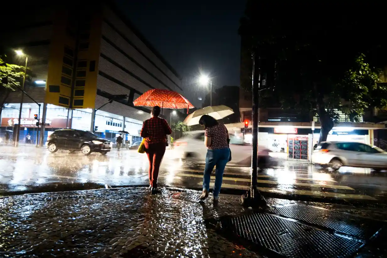
Above-normal rainfall in some regions.
Flooding and extraordinary river rises.
Urban flooding.
Droughts in other areas of the planet.
Increase in global average temperature.