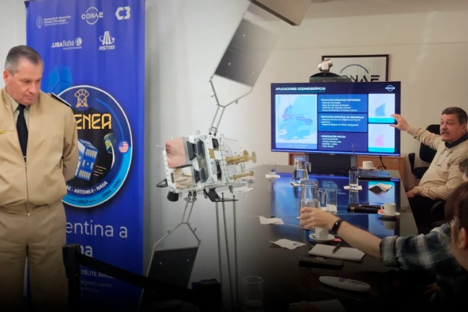
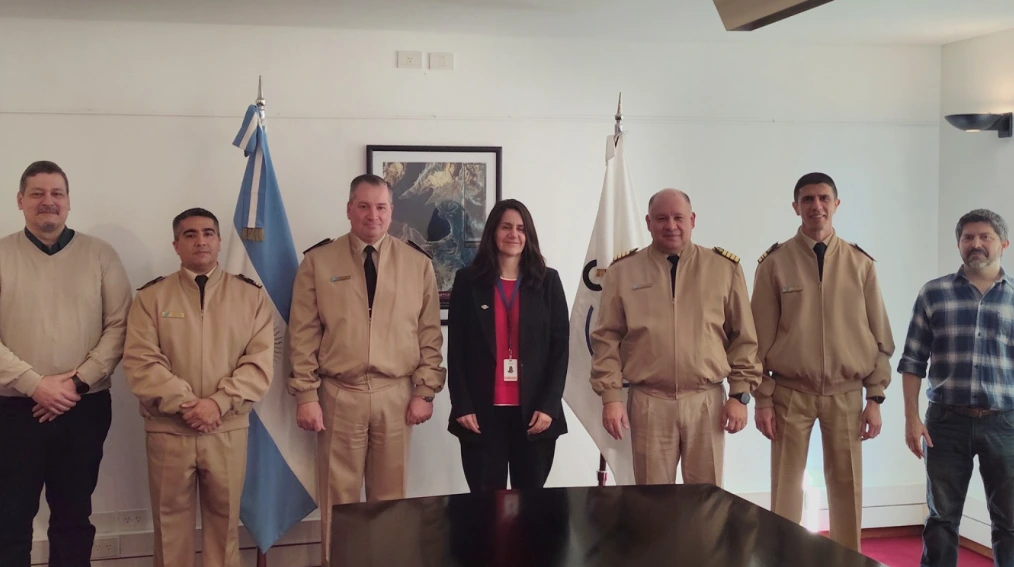
The Argentine Naval Prefecture (PNA) and the National Commission on Space Activities (CONAE) held a working meeting to deepen technological cooperation applied to security and national sovereignty
The meeting was led by the newly appointed Executive and Technical Director of CONAE, engineer Josefina Péres, and the Director of Information Technology and Communications of the Prefecture, General Prefect José Antonio Impollino, along with their respective technical and operational teams.
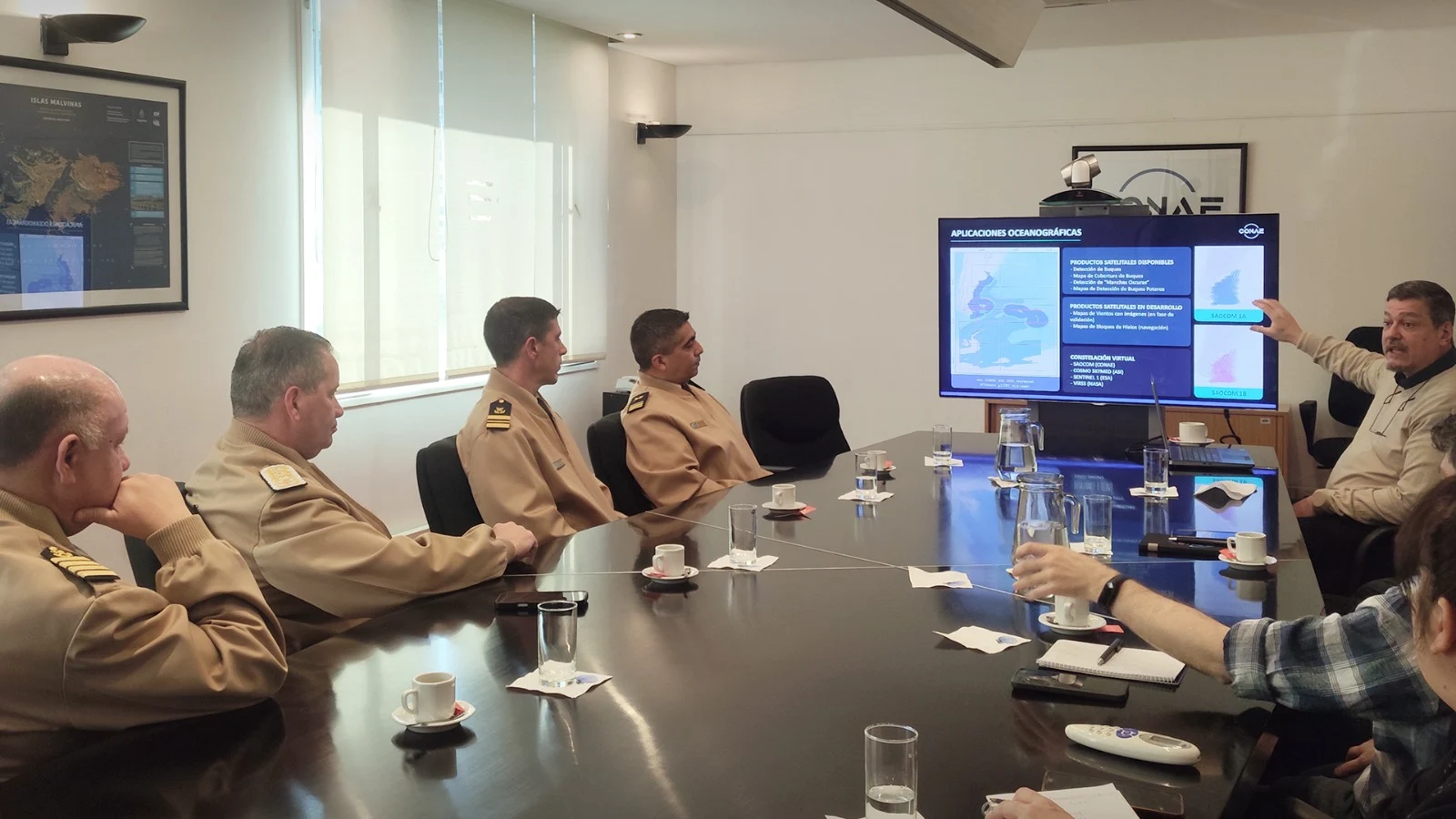
During the day, the results achieved through SIVEMAR (Integrated Electronic Sea Surveillance System), developed by the maritime authority, were evaluated. The tool allows the incorporation of information obtained by Argentine radar satellites SAOCOM and associated international constellations into the Coast Guard System.
The work meeting
The system offers 24-hour coverage, even under adverse weather conditions or high cloud presence. This capability is used for the control of the Exclusive Economic Zone (EEZ), the 201 Mile, and the Argentine Continental Shelf.
Among its functions is the detection of non-collaborative vessels that interrupt their positioning systems, as well as the early identification of dark spots on the sea surface that could correspond to oil spills.
Incorporation of AI
During the meeting, the delegations also defined short- and medium-term objectives related to the incorporation of advanced artificial intelligence models. The aim is to accelerate image processing and generate alerts almost in real-time for the coast guard vessels and aerial means of the Prefecture.
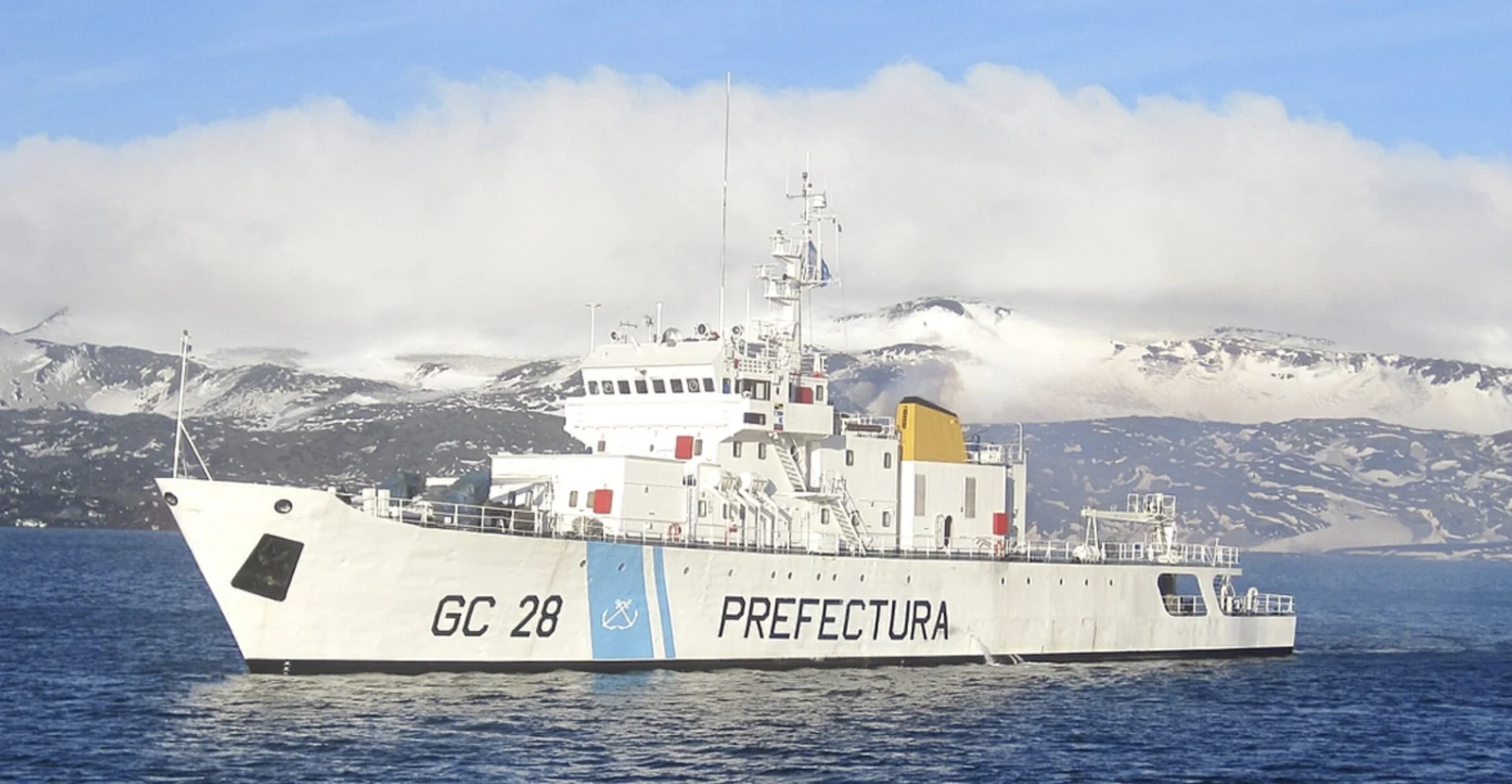
Argentine Naval Prefecture
These tools will also be aimed at reducing false alarms and automating the classification of different types of vessels. Additionally, the deployment of satellite wind maps at sea is planned, considered a resource for navigation safety and search and rescue (SAR) operations, as well as for modeling the movement of potential environmental contingencies.
Another point addressed was the future Argentine satellite mission SABIA-Mar. In this context, it was agreed that the Argentine Naval Prefecture will integrate the community of strategic users of the mission and will participate in the validation of the satellite sensors once they are placed in orbit.
The force will use its operational deployment and control data obtained directly on the ground for these tasks, with the aim of contrasting them with the information generated from space.
The work meeting
Surveillance in inland rivers and border areas
The cooperation also includes expanding surveillance through satellite technology to inland rivers and border areas. In this regard, pilot projects have begun that use satellite sensors and change detection algorithms to identify clandestine landing strips related to drug trafficking and smuggling.
Additionally, monitoring of unauthorized landings and precarious ports located along the Paraná-Paraguay Waterway and the northern Argentine rivers is planned.
At the end of the meeting, the authorities emphasized the importance of linking scientific and spatial knowledge with the operational needs of the Prefecture.
The cooperation aims to deepen data exchange and optimize tools aimed at preserving natural resources and the security of areas under national jurisdiction